Hello from David Kramar
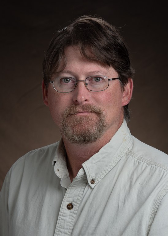
Hi, Folks! My name is David Kramar, and I am the new Precision Agriculture Specialist for the Carrington Research Extension Center.

David Kramar, Ph. D., is the Precision Agriculture Specialist at the Carrington Research Extension Center.
To give y’all a bit of information about me:
I completed both my Master’s degree in Geography, and my Ph.D. in Geospatial and Environmental Analysis at Virginia Tech. I have been involved in the Geospatial industry now for over 20 years and have worked across nearly every discipline. During the last year of my undergraduate degree from Appalachian State I worked in local government as the GIS Administrator and Zoning Administrator for Banner Elk, NC. From there I went into the private sector where I held positions as a municipal GIS analyst and Senior Project Manager. After leaving the private sector to go back to school, I began working in non-profit and environmental research. My master’s research was focused on mercury in common loons, and my doctoral research was focused on mercury in bald eagles. In fact, I still climb into bald eagle nests to collect samples every chance I get! In between finishing my doctorate and moving on, I worked as a research associate for the Conservation Management Institute at Virginia Tech.
Since completion of my doctoral degree, I have served as a Visiting Assistant Professor at Southern Oregon University, and more recently as an Assistant/Associate Professor at Minnesota State University Moorhead. Over this time period, my research shifted focus to developing methods and techniques for utilizing ultrahigh resolution UAS imagery for understanding rangeland and agricultural ecosystems. This was the rationale and how I ended up at Carrington. Without question, I am a “boots on the ground” and “fieldwork” individual. I look forward to meeting and working with everyone, and further developing our understanding and use of geospatial technologies as they apply to agriculture in North Dakota. Precision Agriculture is about data, maps, and spatial processes – three things that are inherently intertwined.
“Maps are like campfires –
everyone gathers around them, because they allow people to understand complex issues at a glance,
and find agreement about how to best help the land”.
- Sonoma Ecology Center
David Kramar, Ph.D.
Precision Agriculture Specialist
David.Kramar@ndsu.edu


